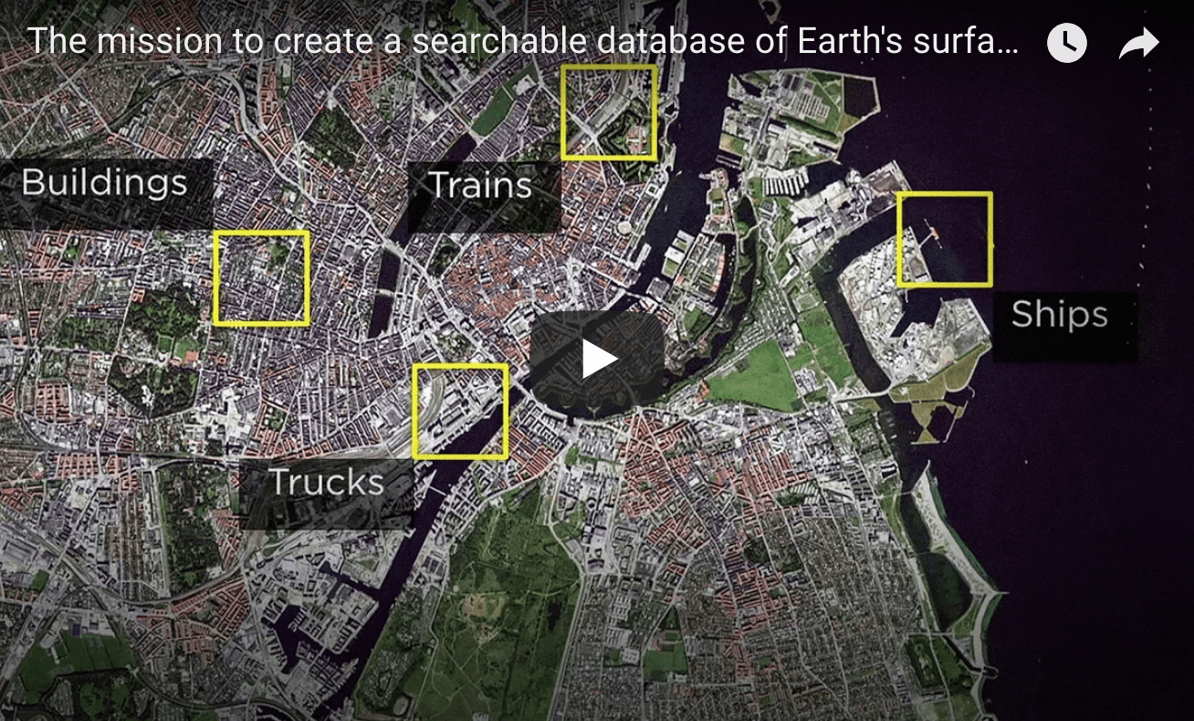
- A couple years ago – I saw his first talk – with this bold idea to launch a global network of satellites, photograph everywhere on earth, every day – and make all of the data free to use
- The idea of everyone getting to see traffic patterns, shipping, refugee migration, crop developments, etc – was amazing
- Well, in this short 6 minute talk – he’s done it, 30 launches, 200 satellites and all of the data on www.planet.com and with a new layer of AI to analyze every image and provide real-time API data on what is being seen from above – enjoy!
What if you could search the surface of the Earth the same way you search the internet? Will Marshall and his team at Planet use the world’s largest fleet of satellites to image the entire Earth every day. Now they’re moving on to a new project: using AI to index all the objects on the planet over time — which could make ships, trees, houses and everything else on Earth searchable, the same way you search Google. He shares a vision for how this database can become a living record of the immense physical changes happening across the globe. “You can’t fix what you can’t see,” Marshall says. “We want to give people the tools to see change and take action.”


